around 18th street and Camelback Rd.
How much does a tree change, standing day to day?
How much has it changed, as I've looked the
other way?
And how much does a tree change, standing day to day?
How much have I changed, as I've looked
the other way?
East
Camelback mall at northeast side of 16th street
and Camelback (it was torn
down in the late 90s to
make room for a newer strip mall.)
(The next four pictures are morning shots.)
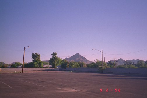
Pic above take from the north parking lot of the
East Camelback
Mall looking north to Squaw Peak (Piestewa Peak).
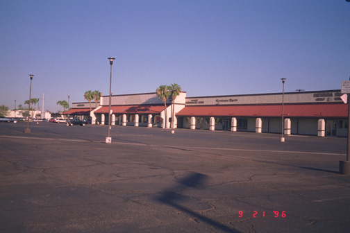
Pic above taken of East Camelback Mall from SE corner.

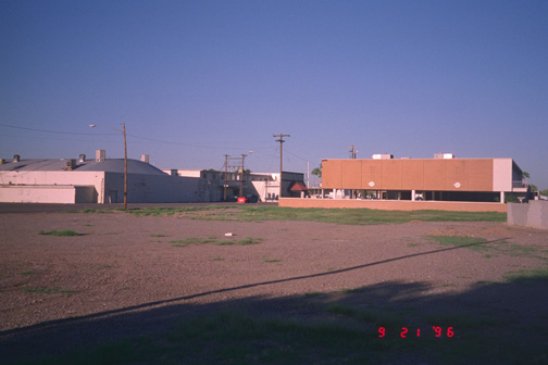
Pic above taken of East Camelback Mall from east side.
Pic above taken of East Camelback Mall north lot
and Valley
National Bank, taken from the northeast side of the lot.
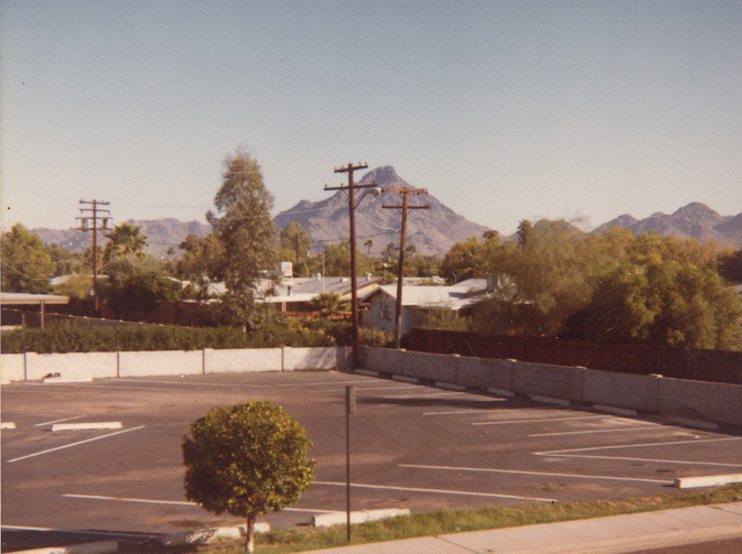
Squaw
Peak Mountain (it was less popular back then, so more accessible)
stairway at the then Valley National Bank at about 17th Street and Medlock. The neighborhood houses
(torn down a couple decades ago) are all gone now to make room for a midrise living area.
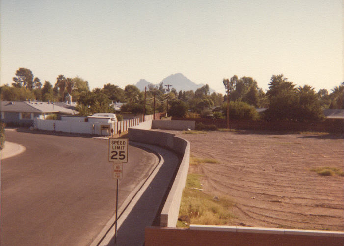
Pic above (c. October 1981): Camelback Mountain in the background as seen (looking eastward, roughly) from the middle
landing of the stairway at the then Valley National Bank at about 17th Street and Medlock. The neighborhood
houses (torn down in 1986 to make way for the Squaw Peak Parkway) are what was then the cul de sac of
Pasadena Street between 18th Street and 17th Place.